Notes from the Future – The City SDK
Wouldn’t it be great if there was a common data source you could query for all information about an area – bus timetables, ATM locations, cost of housing etc.?
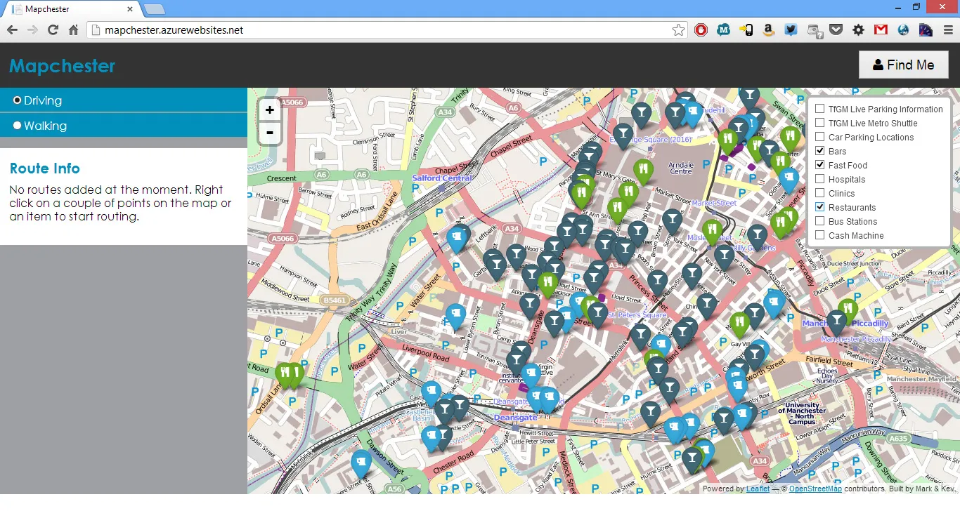
I just spent the end of last week and the weekend down in Manchester for the Future Everything conference and Innovation Challenge Hackathon and got to see and use an early version of the CitySDK (City Service Development Kit) which aims to make such a thing a reality.
Currently being led by The Waag Society in Amsterdam, the CitySDK brings together a number of open data sets, normalises them against the Open Street Map data, and then makes them available through a common API. As part of the Innovation Challenge, we built Mapchester, a point-to-point routing system between items made available though the API.
You can try out the examples yourself at dev.citysdk.waag.org/map/. Some things you could try:
Get all amenities of type:
http://api.citysdk.waag.org/admr.uk.gr.manchester/nodes?geom&osm::amenity=parking&per_page=25&page=1
Get all public transport stops:
http://api.citysdk.waag.org/admr.uk.gr.manchester/ptstops?geom
Get all public transport routes:
http://api.citysdk.waag.org/admr.uk.gr.manchester/ptlines?geom
Geometry of items come down as GeoJSON points so can be easily mapped onto Leaflet for display (that’s what we did).
Leveraging this API, two of use were able to put together a pretty extensive application in only two days. And, since it’s built on the common API, we could easily redploy it to any other city providing the same interface. That’s the real beauty of this project – one app could be used across countless cities and regions.
With support and government buy-in, this could be a big step towards truly open data. Go and try out the future now.